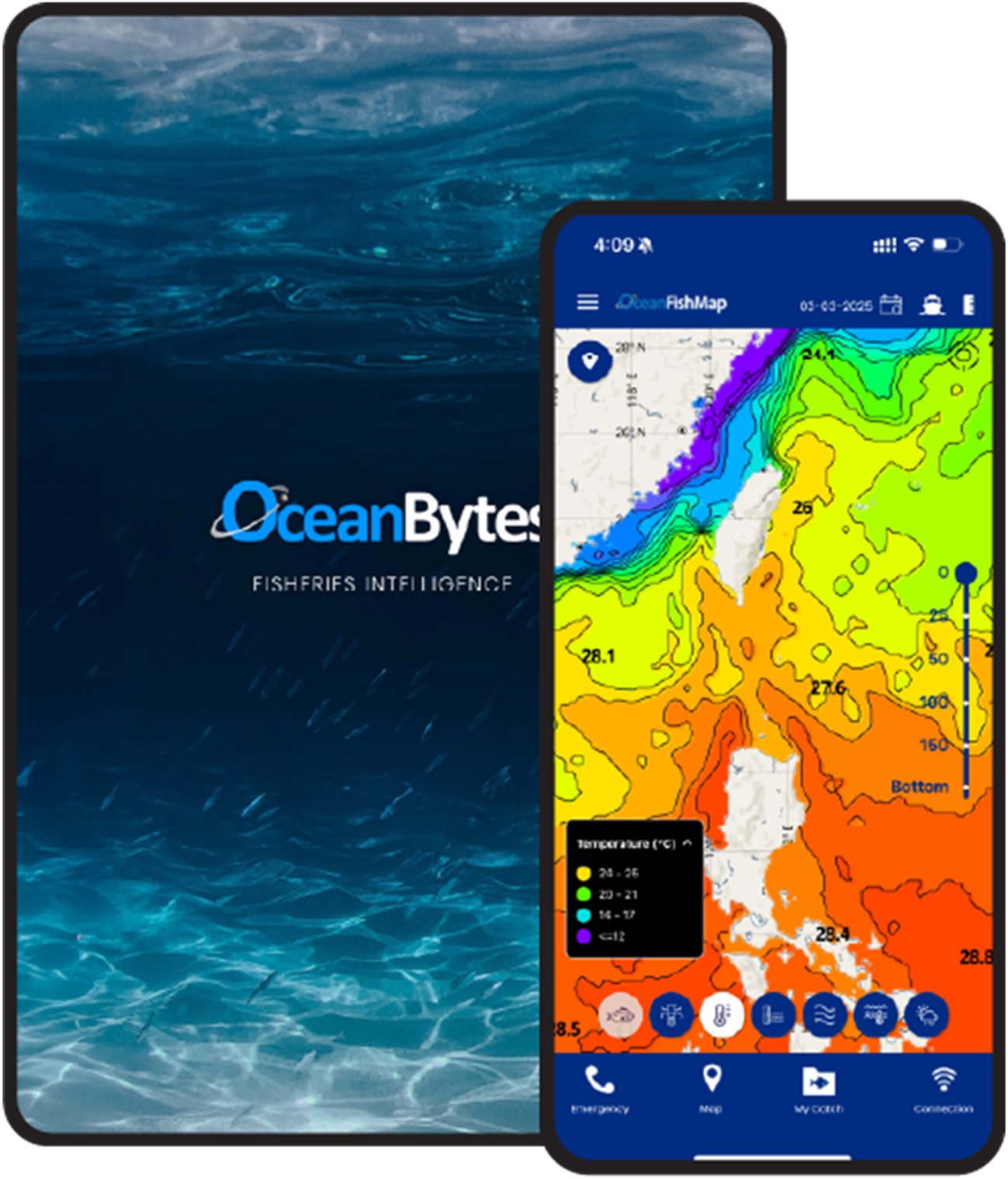
OceanFishMap
OceanFishMap is a state-of-the-art mobile application designed specifically for small and medium-sized fishing vessels. It helps fishermen locate fish faster, operate more efficiently, and stay safe while at sea. This subscription-based service delivers real-time fishing recommendations, essential oceanographic data, and accurate weather —all in one easy-to-use platform.
Key Features
Fishing Recommendations
Optimize your operations with targeted fishing advice based on oceanographic data to improve catch success.
Oceanographic Data
Access critical datasets such as sea surface temperature, chlorophyll concentration, and ocean currents to locate target species with precision.
Weather Data for Safety
Receive up-to-date weather to plan safer trips and avoid dangerous conditions.
Related products
OCEANBYTES
OCEANBYTES